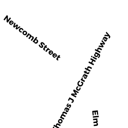
51 MYR MCGRATH HWY
Owner Information
PECCE ALFRED & ADELINE PECCE
77 MOFFAT RD
QUINCY, MA 02169


Property Details
51 MYR MCGRATH HWY is classified as a Undevelopable Commercial Land.
51 MYR MCGRATH HWY is valued at $94,200. The land is valued at $94,200 and the structures are valued at $0.
This property is in Zone BUS B. Confirm with local Zoning Board authorities to ensure there are no overlays or other easements on this property.
The most recent deed for 51 MYR MCGRATH HWY is recorded at the local registrar in Book 06245, Page 0230. 51 MYR MCGRATH HWY was last sold on Thursday, September 8, 1983 for $0.
Assessment data from fiscal year 2020.
Flood Data
This property is partially within the AE Zone (within floodplain). Approximately 0.4 acres (84.03%) of the property is within this zone.
The base flood elevation for this flood zone is 11 feet.
This information is sourced from the FEMA National Flood Hazard Layer. See our full disclamer.
Broadband Internet Providers
| Provider | Type | Bandwidth (mbps) | |
|---|---|---|---|
| Viasat Inc | Satellite | 100 | 3 |
| GCI Communication Corp. | Satellite | 0 | 0 |
| VSAT Systems, LLC. | Satellite | 2 | 1 |
| T-Mobile | Fixed Wireless | 25 | 3 |
| Starry, Inc. | Fixed Wireless | 200 | 200 |
| Comcast | Cable | 1000 | 35 |
| Verizon New England Inc. | DSL | 15 | 1 |
| HughesNet | Satellite | 25 | 3 |
| Crown Castle Fiber | Fiber | 0 | 0 |
Broadband service provider data from December 2020.
Adjacent Properties
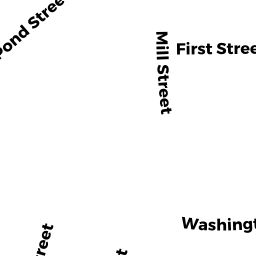
- 196 ELM ST
Two-Family Residential owned by ODAY JAMES J - 200 ELM ST
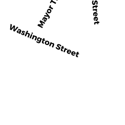
Two-Family Residential owned by DUONG NGAN V & TIFFANY - 128 WASHINGTON ST
Small Retail and Services stores (under 10,000 sq. ft.) owned by OVERSTREAM INC - 134-138 WASHINGTON ST
Discount Stores, Junior Department Stores, Department Stores owned by DISTASIO MICHAEL A ETAL TRS